Precision. Innovation. Excellence in
Land Surveying.
Delivering cutting-edge solutions in surveying services.

Get a Free Consultation
Partners &
Clients
We believe that collaboration is key to building a sustainable future.
Our Partners and Clients play a crucial role in driving our mission forward.


Why Choose Us?
We provide cutting-edge surveying and geospatial solutions that enhance project efficiency,
improve decision-making, and deliver precise, actionable insights.
Precision & Accuracy
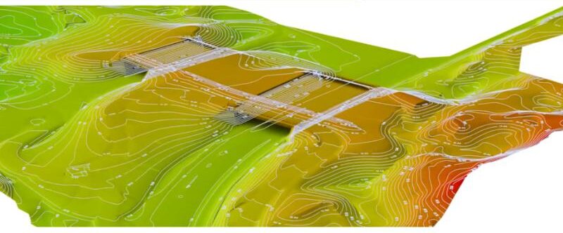
Leveraging advanced technology to ensure highly accurate survey data and geospatial mapping.
Efficiency & Innovation
Our state-of-the-art tools and methodologies streamline project execution for faster results.
Data-Driven Insights
We transform raw data into actionable intelligence, empowering better decision-making.
Delivering
Exceptional Surveying Solutions
We believe in the power of collaboration to shape a better, data-driven future.
Our clients and partners are at the core of our mission, helping us drive accuracy, efficiency, and
innovation in every project.
Have Questions? We’re Here to Help!
If you need further clarification or have specific inquiries, feel free to reach out to us.
We provide a wide range of geospatial and land surveying solutions. Visit our Services page for detailed information.
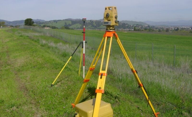
Our surveys are conducted using advanced technology to ensure precision and reliability.
Yes, we provide professional consultation to help you determine the best survey solutions for your needs.
You can request a survey by contacting us through our website or reaching out via email.
Let's Bring Your Vision to Life
Get in touch today to explore tailored geospatial solutions for your project.
Contact Uswe deliver accuracy you can trust...
Our Office
- Huson House, Emmanuel Emenike Road, By Court of Appeal, Opposite Crown Plaza Hotel, Area A, New Owerri, Imo State.
- +234860936649, +2348147182326
- seamlesssmartconsult@gmail.com
Quick Links
Services
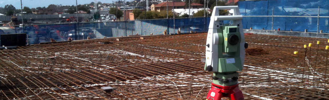
- Land & Aerial Surveying
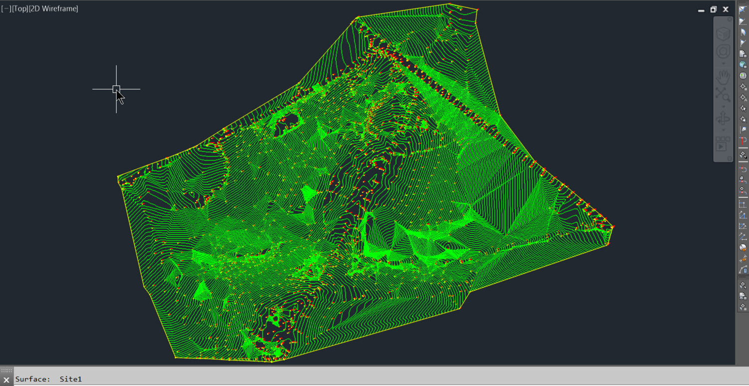
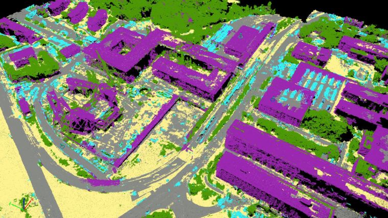
- GIS & Mapping Solutions
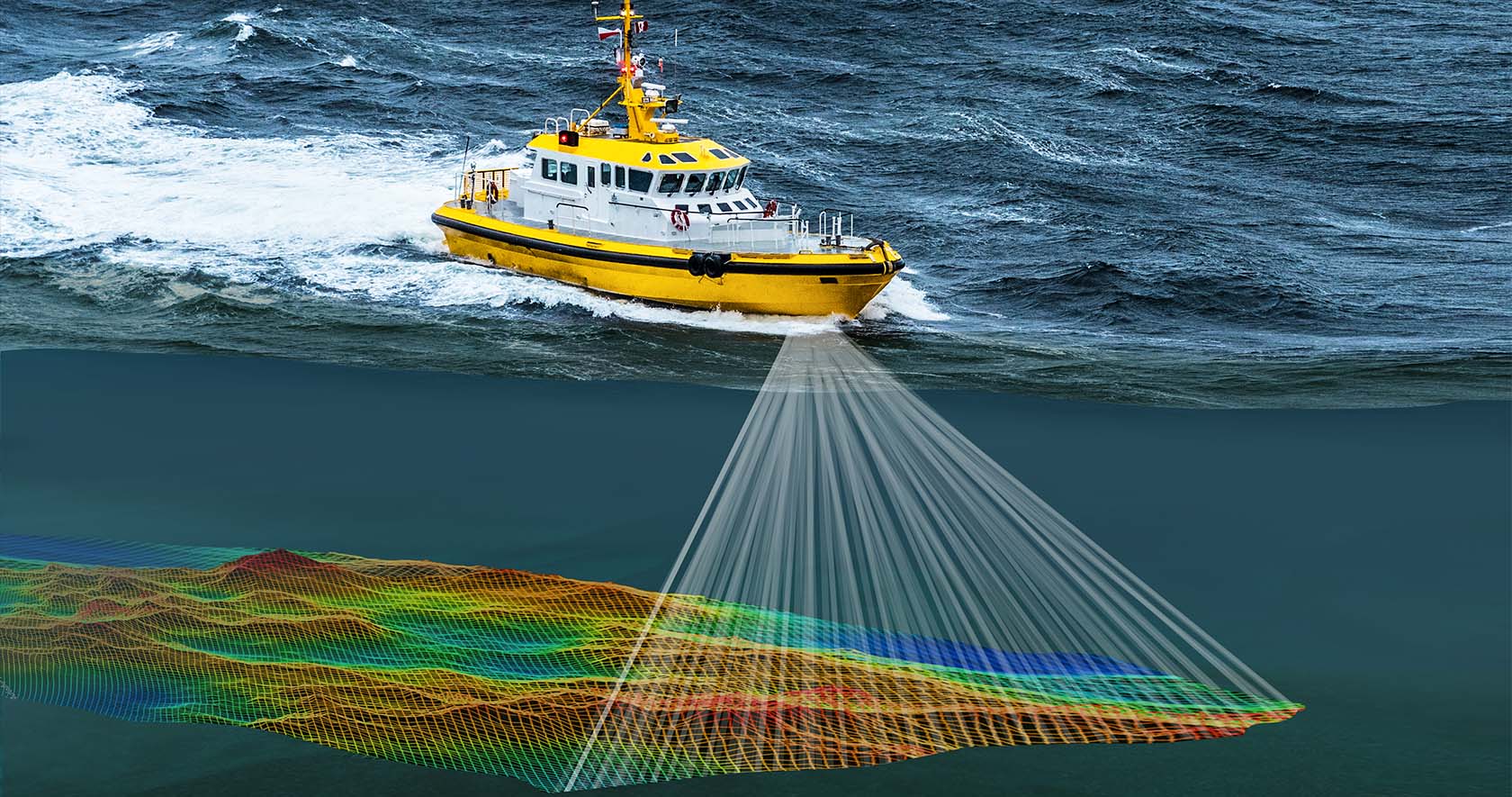
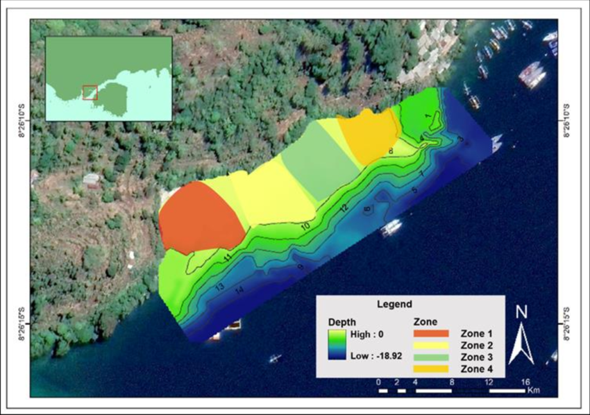
- Bathymetry Solutions
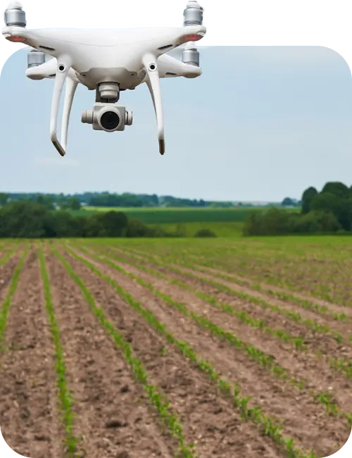
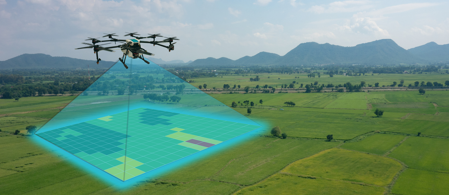
- Remote Sensing & Drone Mapping
- Geospatial Data Analysis
Stay Connected
Follow us for updates and insights.